 Translate

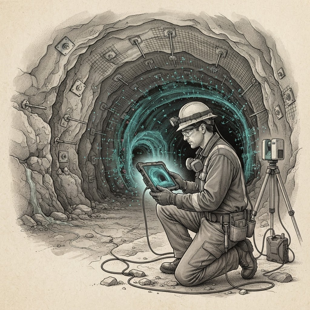
Sandvik has introduced a cloud-based system that uses AI and LiDAR scan data to inspect rock bolts, shifting part of underground support quality control from manual review to software analysis. The platform, called xCell Vision, is designed to identify installed bolts and measure their count, spacing, orientation and tail length.
DIG Analysis — 2026-11-09: The product addresses a narrow but consequential task in underground mining and tunneling: verifying that rock reinforcement has been installed as specified. Automating measurement could help geotechnical teams direct attention to exceptions, although the value will depend on the quality of scans, the software’s reliability in difficult conditions and how results fit into existing site workflows.
From scans to inspection records
Rock bolts reinforce the surrounding ground in mine workings and tunnels. Checking their installation can require workers to document locations and dimensions, then review that information against design requirements. Sandvik says xCell Vision analyzes LiDAR scans to recognize and classify installed bolts, producing measurements for parameters that include bolt count and spacing as well as orientation and tail length.
The stated aim is to reduce manual documentation and allow geotechnical teams to focus on areas that warrant further investigation. That is a workflow change, not a claim that software can determine whether a support system is safe. The company’s description centers on identification and measurement; it does not say that xCell Vision independently approves installations, replaces engineering judgment or prescribes corrective work.
Sandvik’s announcement presents the platform as cloud-based, a design that can make analysis available beyond the machine or scan location but also ties the workflow to data handling and connectivity. Underground sites may have uneven communications, while scans can vary with equipment, geometry and operating conditions. The announcement did not provide accuracy rates, validation methods, supported scan hardware, deployment requirements or details on how the system handles incomplete or ambiguous data.
Proof will matter
For users, the key test will be whether automated measurements are consistent enough to reduce repeat inspection without creating new review work. A system that flags questionable bolts can help teams prioritize checks; one that misses installations or misclassifies scan features could instead leave engineers reconciling software output with field records. Sandvik has not disclosed comparative results against manual inspection or described how customers can audit the model’s findings.
Those omissions leave the commercial case difficult to quantify. The announcement did not state pricing, whether xCell Vision is sold by subscription or bundled with other products, or how many customers are testing or using it. It also did not identify the LiDAR equipment needed to generate compatible scans. These details will shape whether the platform fits existing mine and tunneling processes or requires additional hardware, training and data integration.
Sandvik said the software is intended to automate analysis so geotechnical teams can concentrate on follow-up investigation. That framing places the product in a growing category of industrial tools that turn equipment or site data into operational records. In this case, the input is a scan of installed ground support, and the output is a set of measurable installation attributes. The next commercial evidence will be whether those outputs are accepted in routine quality-control procedures.
The operating boundary
The distinction between measurement and engineering judgment is central. Bolt dimensions and position can be quantified, but deciding whether a pattern meets site requirements depends on design criteria, ground conditions and the consequences of a deviation. Sandvik has not said whether xCell Vision compares its measurements with project specifications, integrates with mine planning or geotechnical systems, or provides a record suitable for compliance and audit purposes.
Nor has the company outlined the conditions under which the AI performs best. Dust, occlusion, irregular surfaces and overlapping hardware are practical sources of complexity in underground imaging, but Sandvik’s announcement did not report performance across those conditions. Until field results and deployment terms are clearer, operators will have to assess whether the software saves enough inspection time to justify adding another analytical step.
“By automating these tasks, the technology allows geotechnical teams to reduce manual documentation and focus on identifying areas that require further investigation.” Sandvik, describing xCell Vision
For now, xCell Vision’s proposition is specific: use AI to turn LiDAR data into a structured account of installed rock bolts. Sandvik has announced the platform, but has not published pricing, benchmark results or customer deployment figures.
